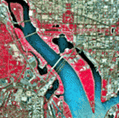
These brightly colored Infrared Aerial Photographs show great detail about the Earth's land formations, resources and vegetation. These photos allow for the accurate mapping of ground cover and are usually taken from satellites like those in the Landsat program.


No comments:
Post a Comment