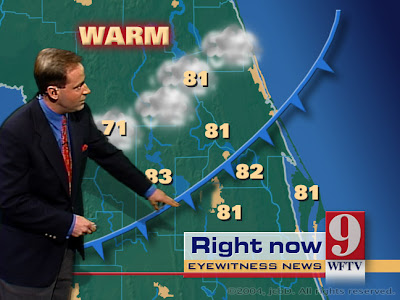
Cartographic Animation
Cartographic Animation, as depicted above, is used to demonstrate movement across land that would otherwise be very difficult to communicate or explain. We see this animation most commonly from our weather person on the news showing the movement of Low pressure or High pressure air and how that should effect our climate.
No comments:
Post a Comment