A Cartographical World
Sunday, December 5, 2010
DRG
http://egsc.usgs.gov/isb/pubs/factsheets/fs08801.html
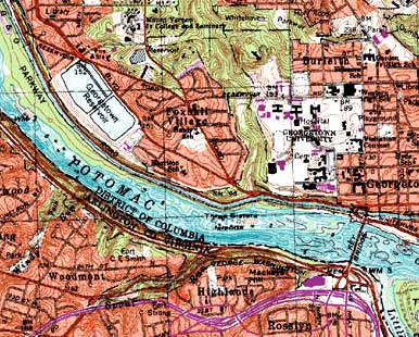
A digital raster graphic or DRG is a scanned image of a U.S. Geological Survey topographic map. The image inside the map is georeferenced to the surface of the Earth. For example, this map references Washington West, D.C.
No comments:
Post a Comment
Newer Post
Older Post
Home
Subscribe to:
Post Comments (Atom)
No comments:
Post a Comment