A Cartographical World
Sunday, December 5, 2010
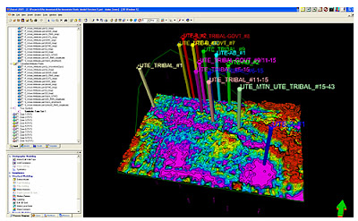
Isopach
http://www.netl.doe.gov/technologies/oil-gas/Petroleum/projects/EP/Explor_Tech/15451.htm
An isopach is a contour that connects points of equal thickness. On this map, the contour lines are color enhanced making them a little more difficult to see on this 3D model.
No comments:
Post a Comment
Newer Post
Older Post
Home
Subscribe to:
Post Comments (Atom)
No comments:
Post a Comment